Cypress Hills
A forested plateau the ice age never covered, standing high enough above the prairie to hold mountain species.
Updated 4 September 2026

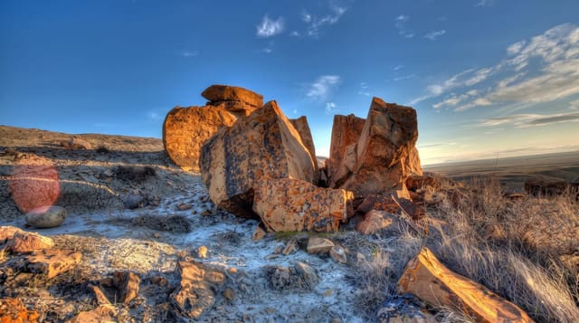
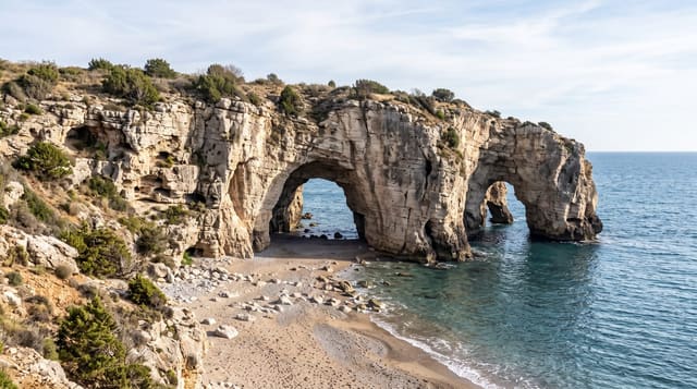
AI illustration
The Cypress Hills rise to about fourteen hundred and sixty-eight metres, the highest ground in Canada between the Rockies and Labrador, and they were a nunatak: the ice sheets flowed around them and left the top uncovered, so plants and animals survived there that were wiped out elsewhere. Lodgepole pine grows here far from the mountains, along with orchids and species with no other prairie population. The park is an interprovincial one, shared by Alberta and Saskatchewan, and it is a Dark Sky Preserve. Fort Walsh in the Saskatchewan block marks the North-West Mounted Police response to the 1873 massacre of Nakoda people by American wolf hunters.
What you'll find
- The forested plateau - lodgepole pine standing above open prairie.
- The ice age refuge - species surviving where the glaciers went around.
- The dark sky preserve - some of the least light-polluted skies on the prairie.
- Fort Walsh - the NWMP post established after the 1873 massacre.
When to go
May to September for camping and the full park; the plateau holds snow later than the surrounding plains and has a small ski hill in winter. Dark sky viewing is best on moonless autumn nights.
Things to know
The park spans two provinces with separate passes and services. Fort Walsh has its own hours and season. The plateau is noticeably cooler and wetter than the prairie below, which surprises visitors.
Nearby
Medicine Hat lies northwest; Maple Creek is northeast in Saskatchewan.
What to pack for Cypress Hills
Chosen from what this place is for. Tap a kit for the full checklist.
- Broken-in walking shoes or boots - Grip and ankle support matter more than looks; never hike in brand-new boots. Find on Amazon
- Spare batteries + cards - Cold and long shoots drain power; never run out at the good light. Find on Amazon
- Warm base layers - Merino or synthetic against the skin - never cotton, which chills when damp. Find on Amazon
- Shelter suited to the place - Tent, tarp or hut booking - match it to the terrain and rules. Find on Amazon
Some links on this page are Amazon affiliate links - if you buy through them we may earn a small commission at no extra cost to you.
All packing kitsPlan your trip
Where to start if Cypress Hills is going on the list.
Booking links on this page are affiliate links - if you book through them we may earn a small commission at no extra cost to you. It never changes what we write about a place.
Opening times, ticket prices and seasonal closures change - check the official source before you go: official site.