Lake Cohoha
A shallow northern lake with many arms, shared with Rwanda across the border.
Updated 14 September 2026
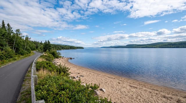
Lake Cohoha in Burundi's far north is a shallow lake with a very irregular shore, arms and inlets running between low hills, and the border with Rwanda runs through it so both countries hold parts. Fishing villages work the shore and papyrus lines much of the edge. It is one of a group of northern lakes that make this the wettest-looking part of an otherwise hilly country. The northern lakes together are sometimes called the Bugesera lakes, after the region they sit in.
What you'll find
- The irregular shore - arms and inlets running between low hills.
- The papyrus edge - the reed fringe around much of the lake.
- The fishing villages - the settlements working the water.
- The shared border - the frontier with Rwanda running through the lake.
When to go
June to September is the dry season. Water levels rise with the rains from October. Early morning is best for birds and for fishing activity.
Things to know
There is no visitor infrastructure and boats must be arranged in the villages. Carry identification on the roads near the border. Bilharzia is a risk in the water.
Nearby
Lake Rweru is east, and Kirundo is south.
Key facts
Source: Wikidata, item Q3214830, read on 18 October 2026.
What to pack for Lake Cohoha
Chosen from what this place is for. Tap a kit for the full checklist.
- Travel rod + reel - A packable multi-piece rod fits in a case and covers most holiday fishing. Find on Amazon
- Reef-safe sunscreen - High SPF that will not bleach the coral you are swimming over. Find on Amazon
- A small tackle selection - Hooks, weights, line and a few lures or flies suited to local waters. Find on Amazon
- Quick-dry towel - A microfibre towel packs small and dries in minutes. Find on Amazon
Some links on this page are Amazon affiliate links - if you buy through them we may earn a small commission at no extra cost to you.
All packing kitsPlan your trip
Where to start if Lake Cohoha is going on the list.
Booking links on this page are affiliate links - if you book through them we may earn a small commission at no extra cost to you. It never changes what we write about a place.
Opening times, ticket prices and seasonal closures change - check the official source before you go: official site.