Bukit Shahbandar Forest Recreation Park
A hill park between the capital and Jerudong, with trails over seven wooded ridges.
Updated 3 September 2026
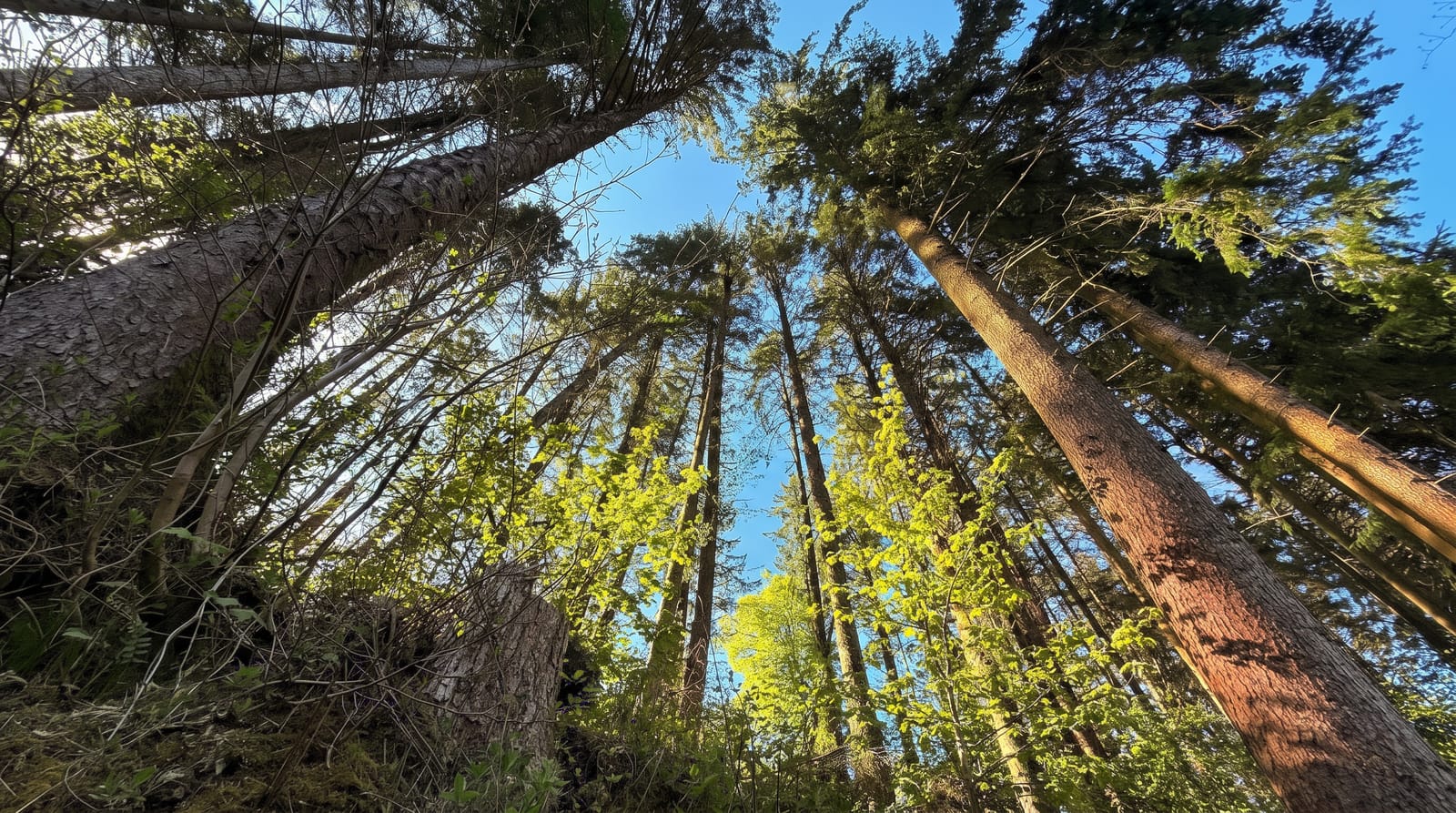
Bukit Shahbandar covers a set of low hills between Bandar Seri Begawan and Jerudong, planted with acacia and pine over what was degraded ground and now carrying a network of trails running over seven summits with an observation tower on the highest. It is the country's main running and mountain biking area. The forest is plantation rather than primary, which shows, but the trails are well kept. Signage marks the trails by colour and length, which makes it one of the few places in the country where a route can be planned in advance.
What you'll find
- The seven hills - the ridges the trail network runs over.
- The observation tower - the structure on the highest point.
- The trail network - well kept paths used for running and biking.
- The plantation forest - acacia and pine planted on formerly degraded ground.
When to go
Year round. Early morning and late afternoon are coolest. Heavy rain makes the clay trails slippery.
Good to know
The forest is plantation rather than natural and lacks the interest of primary growth. Trails are steep and slippery in the wet. Facilities are car parks and shelters only.
Nearby
Jerudong is northwest, and Bandar Seri Begawan is southeast.
Key facts
Source: Wikidata, item Q131463316, read on 18 October 2026.
What to pack for Bukit Shahbandar Forest Recreation Park
Chosen from what this place is for. Tap a kit for the full checklist.
- Broken-in walking shoes or boots - Grip and ankle support matter more than looks; never hike in brand-new boots. Find on Amazon
- Layers + a waterproof shell - Mountain weather turns fast; a packable rain jacket saves the day. Find on Amazon
- Daypack with rain cover - 20-30 litres holds water, snacks, layers and a first-aid kit. Find on Amazon
- Offline maps + a power bank - Download the trail before you lose signal; carry backup charge. Find on Amazon
Some links on this page are Amazon affiliate links - if you buy through them we may earn a small commission at no extra cost to you.
All packing kitsPlan your trip
Where to start if Bukit Shahbandar Forest Recreation Park is going on the list.
Booking links on this page are affiliate links - if you book through them we may earn a small commission at no extra cost to you. It never changes what we write about a place.
Opening times, ticket prices and seasonal closures change - check the official source before you go: official site.