Ragged Island
The southernmost inhabited island in the Bahamas, with a few dozen residents rebuilding after a hurricane that emptied it entirely.
Updated 18 October 2026
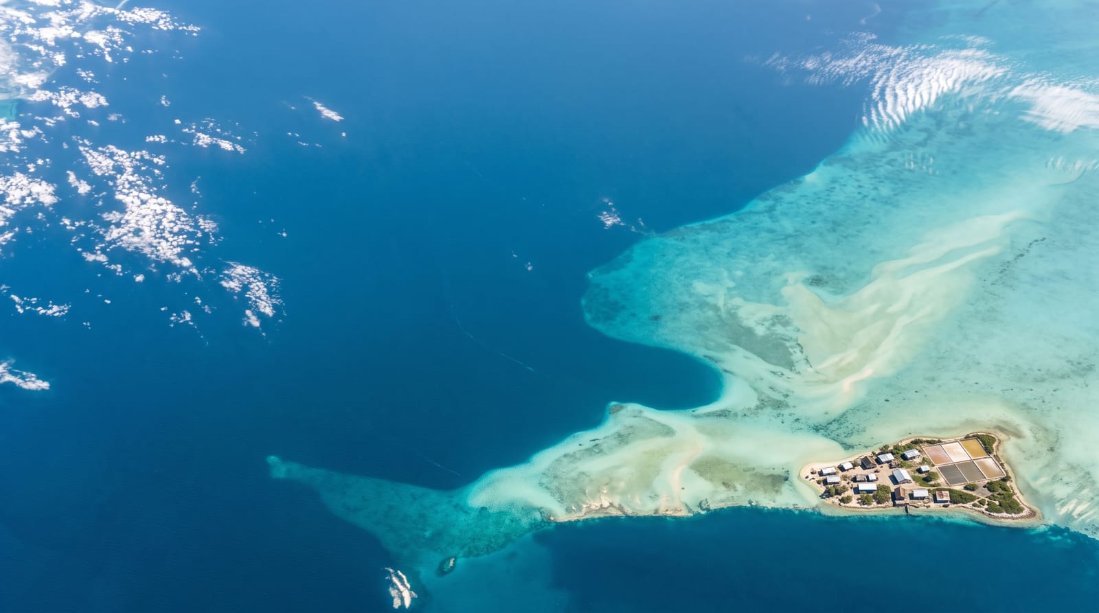
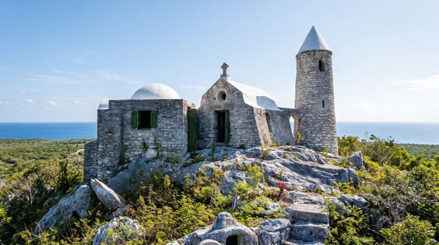
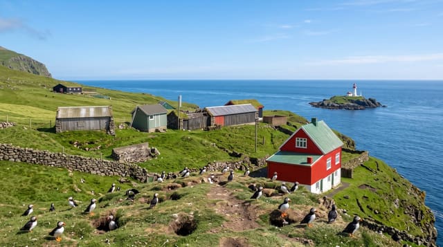
AI illustration
Ragged Island sits at the southern end of a long chain of cays running down from the Exumas, and Duncan Town, its single settlement, had a population in the dozens even before Hurricane Irma passed directly over in 2017 and destroyed almost every building, after which the island was evacuated entirely. People have been returning since, and the government committed to rebuilding it as the country's first fully solar-powered community. The island lived on salt for a century, and the old evaporation pans are still visible. The cays running north are uninhabited, and the fishing grounds around them are the richest in the country.
History
The Lucayans called the Ragged Islands Utiaquia, western hutia land, and Spanish explorers named them Islas de Arena, sand islands. Ownership of the island is said to have been granted to William George Lockhart some time in the 18th century, and on 8 September 2017 Duncan Town took a direct hit from Hurricane Irma (Wikipedia, Ragged Island, Bahamas).
The landscape
- Duncan Town - the settlement, rebuilding after being emptied in 2017.
- The salt pans - the nineteenth-century evaporation works.
- The Ragged Island chain - uninhabited cays running north toward the Exumas.
- The fishing grounds - among the most productive in the Bahamas.
When to go
December to May is the dry season. Transport is the main obstacle: flights are infrequent and irregular, and the mail boat from Nassau takes the best part of a day. Confirm everything before travelling.
Practical notes
This island was destroyed in 2017 and is still rebuilding; visitor facilities are essentially non-existent and arriving without arrangements would be inconsiderate as well as impractical. There is no hotel in the conventional sense. Flights are unreliable. Anyone going should have a specific reason and a contact on the island.
Nearby
The Jumentos cays run north; Long Island is northeast.
Key facts
Source: Wikidata, item Q1532634, read on 18 October 2026.
What to pack for Ragged Island
Chosen from what this place is for. Tap a kit for the full checklist.
- Travel rod + reel - A packable multi-piece rod fits in a case and covers most holiday fishing. Find on Amazon
- Reef-safe sunscreen - High SPF that will not bleach the coral you are swimming over. Find on Amazon
- A small tackle selection - Hooks, weights, line and a few lures or flies suited to local waters. Find on Amazon
- Quick-dry towel - A microfibre towel packs small and dries in minutes. Find on Amazon
Some links on this page are Amazon affiliate links - if you buy through them we may earn a small commission at no extra cost to you.
All packing kitsPlan your trip
Where to start if Ragged Island is going on the list.
Booking links on this page are affiliate links - if you book through them we may earn a small commission at no extra cost to you. It never changes what we write about a place.
Opening times, ticket prices and seasonal closures change - check the official source before you go: official site.