Gesause National Park
A Styrian national park where the Enns saws through limestone walls, known for whitewater, long climbing routes and steep forest trails.
Updated 29 August 2026
AI illustration
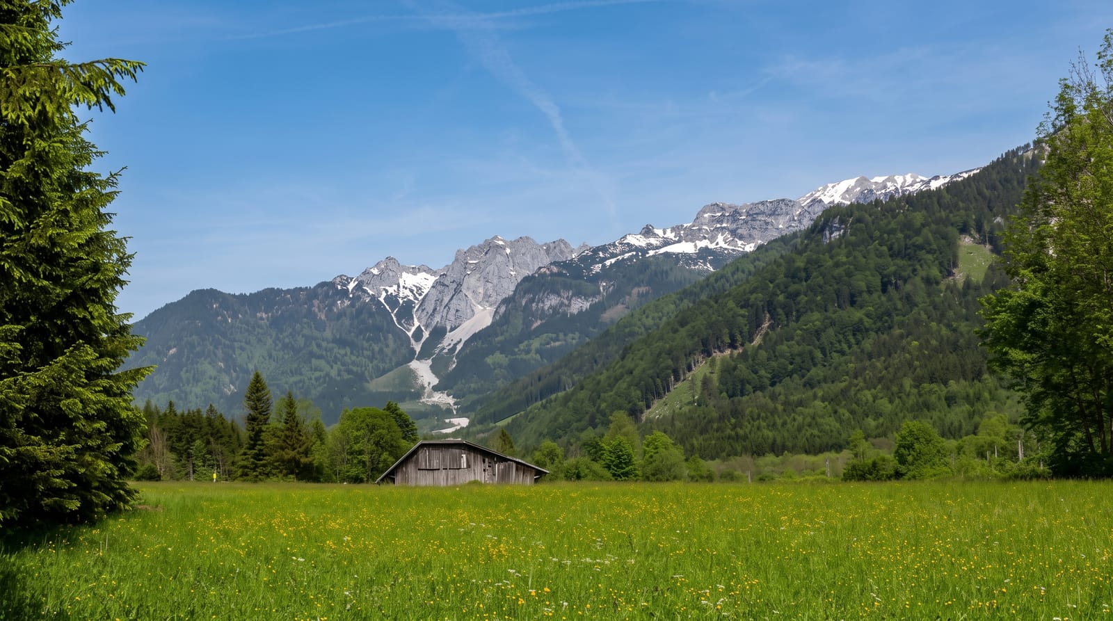
The Gesause is where the Enns cuts through the limestone of the Ennstal Alps, and the name comes from the noise the water makes in the narrows. The national park covers the gorge and the mountains on both sides: Hochtor and the Planspitze on one flank, the Buchstein on the other, with steep forest, scree fields and long rock faces between them. Kayakers and rafts use the river when levels allow, climbers use the walls, and walkers get trails that gain height quickly straight off the valley floor. The Johnsbach side valley is the quieter way in, a strip of meadow and old farms under the peaks.
What you'll find
- The Enns narrows - the river forced between rock walls, loud and fast, with the road and railway squeezed alongside.
- Hochtor and the Planspitze - the highest limestone faces in the park, with classic long climbing routes on them.
- The Johnsbach valley - a quiet side valley of meadows and farms with the walls rising directly behind them.
- The pavilion at Gstatterboden - the park information point in the middle of the gorge, a starting point for the marked trails.
When to go
May and June for high water on the river and green forest. July to September for the most reliable walking and climbing weather. Autumn brings colour in the beech woods and empty trails. Rafting depends on flow, so check before travelling. Winter closes most high routes and the valley sits in shade for weeks.
What to expect
Trails here are steep, rocky and in places exposed, with more ascent per kilometre than the map suggests. Weather turns fast on the ridges. The valley floor is shared with a main road and a railway, so the gorge is not quiet. Public transport is limited once you leave the Enns, and huts have short seasons.
Nearby
Admont with its abbey library is at the western end, and Hieflau closes the gorge to the east.
Key facts
Source: Wikidata, item Q369655, read on 18 October 2026.
What to pack for Gesause National Park
Chosen from what this place is for. Tap a kit for the full checklist.
- Broken-in walking shoes or boots - Grip and ankle support matter more than looks; never hike in brand-new boots. Find on Amazon
- Quick-dry clothing - Board shorts or synthetics that shrug off spray and dry fast. Find on Amazon
- Binoculars - The single best wildlife tool - even a compact pair transforms a sighting. Find on Amazon
- Shelter suited to the place - Tent, tarp or hut booking - match it to the terrain and rules. Find on Amazon
Some links on this page are Amazon affiliate links - if you buy through them we may earn a small commission at no extra cost to you.
All packing kitsPlan your trip
Where to start if Gesause National Park is going on the list.
Booking links on this page are affiliate links - if you book through them we may earn a small commission at no extra cost to you. It never changes what we write about a place.
Opening times, ticket prices and seasonal closures change - check the official source before you go: official site.