Moreton Island (Mulgumpin)
The third-largest sand island in the world, with wrecks sunk as a breakwater, a sand-blow desert and wild dolphins.
Updated 4 September 2026
AI illustration
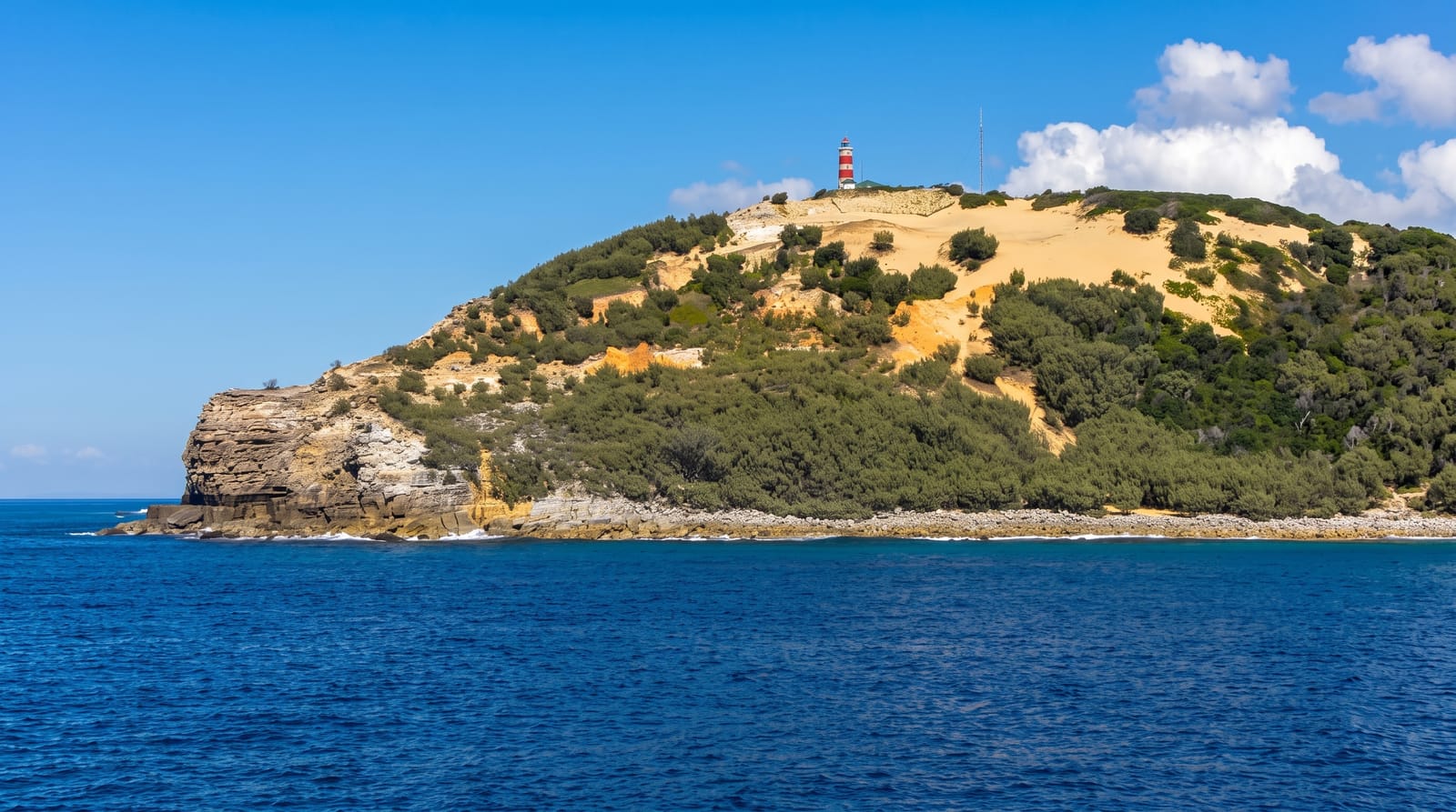
Moreton Island, called Mulgumpin by the Quandamooka people, is almost entirely sand, the third-largest sand island in the world, with no sealed roads and a landscape of dunes, freshwater lagoons and heath. Off Tangalooma, fifteen ships were deliberately sunk between 1963 and 1984 to form a small-boat breakwater, and the rusting hulls now sit in shallow water as a snorkelling and diving site. At the Tangalooma resort, wild bottlenose dolphins have come inshore each evening for decades to be hand-fed by staff and guests under permit. Mount Tempest, at around 280 metres, is among the highest coastal sand dunes on earth, and sand tobogganing runs down the Desert blow.
What's there
- The Tangalooma wrecks - fifteen sunken ships forming a snorkelling site.
- The wild dolphin feeding - bottlenose dolphins hand-fed at dusk under permit.
- The sand dunes - Mount Tempest and the Desert sand blow.
- The freshwater lagoons - Blue Lagoon and Honeyeater Lake inland.
When to go
April to October for the driest, mildest weather and the clearest water; summer is hot, humid and stormy. Whales pass offshore between June and October. Dolphin feeding is limited to resort guests and books well ahead.
Things to know
There are no sealed roads, and independent travel requires four-wheel drive, a vehicle permit and tide awareness for beach driving. Fuel and supplies on the island are limited and expensive. Camping permits must be arranged before arrival.
Nearby
Brisbane is the ferry departure point; North Stradbroke Island lies south in the bay.
What to pack for Moreton Island (Mulgumpin)
Chosen from what this place is for. Tap a kit for the full checklist.
- Broken-in walking shoes or boots - Grip and ankle support matter more than looks; never hike in brand-new boots. Find on Amazon
- Reef-safe sunscreen - High SPF that will not bleach the coral you are swimming over. Find on Amazon
- Your own mask + snorkel - A well-fitting mask is the single biggest comfort upgrade underwater. Find on Amazon
- Binoculars - The single best wildlife tool - even a compact pair transforms a sighting. Find on Amazon
Some links on this page are Amazon affiliate links - if you buy through them we may earn a small commission at no extra cost to you.
All packing kitsPlan your trip
Where to start if Moreton Island (Mulgumpin) is going on the list.
Booking links on this page are affiliate links - if you book through them we may earn a small commission at no extra cost to you. It never changes what we write about a place.
Opening times, ticket prices and seasonal closures change - check the official source before you go: official site.