Arnhem Land
A vast Aboriginal-owned region of escarpment, rivers and rock art, entered only with a permit and usually with a guide.
Updated 18 October 2026
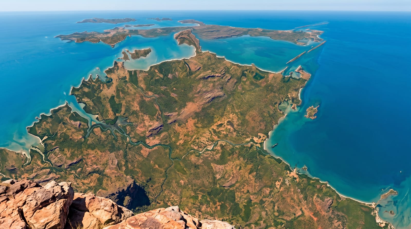
AI illustration
Arnhem Land covers around ninety-seven thousand square kilometres of the Top End east of Kakadu, held under Aboriginal freehold title since 1976 and home to Yolŋu and other groups whose languages, ceremony and art traditions are among the most continuous in the world. The country ranges from the stone escarpment to floodplains, rivers and a coast of islands, with rock art galleries in shelters used over tens of thousands of years. Injalak Hill at Gunbalanya, reached from Kakadu on a permit day trip, has some of the most accessible art, with an art centre below. Garma, a Yolŋu cultural festival, is held at Gulkula each August. Access is controlled and dependent on permits.
History
People have lived in the region for about 60,000 years, the Yolŋu culture of East Arnhem Land may be one of the oldest living cultures on Earth, and a stone axe found here, about 35,500 years old, was in 2010 the oldest known of its kind; rock art that may show violence between people has been tentatively dated to 10,000 years ago. In 1623 the Dutch captain Willem Joosten van Colster sailed into the Gulf of Carpentaria, and Cape Arnhem is named after his ship, the Arnhem. At least from the 18th century traders from Makassar in Sulawesi came every year to harvest and process trepang, trading cloth, tobacco, knives and rice with local people, the first recorded contact between Australia's inhabitants and their Asian neighbours, and their word balanda for white people is still used (Wikipedia, Arnhem Land).
Highlights
- The rock art - shelters painted over tens of thousands of years, including Injalak Hill.
- The art centres - bark painting, weaving and carving sold at community centres.
- The escarpment country - stone plateau, waterfalls and floodplains.
- The Garma festival - the Yolŋu cultural gathering held each August.
When to go
May to October; the wet season floods roads and the East Alligator crossing to Gunbalanya, cutting access entirely. Permits take time to obtain and are issued for specific routes and dates. Garma falls in August and books out.
Before you go
This is private Aboriginal land, not a park: permits are compulsory, often limited, and travelling without one is trespass. Most visitors go with licensed tour operators. Alcohol is restricted or prohibited. Photography rules vary by community and must be respected.
Nearby
Kakadu lies west across the East Alligator River; Nhulunbuy is on the eastern coast.
Key facts
Source: Wikidata, item Q329884, read on 18 October 2026.
What to pack for Arnhem Land
Chosen from what this place is for. Tap a kit for the full checklist.
- Comfortable walking shoes - Sightseeing means kilometres of pavement and cobbles daily. Find on Amazon
- A slim anti-theft daypack - Zips that close properly; keep it in front in crowds and on transit. Find on Amazon
- A refillable water bottle - Many cities have public fountains; save money and plastic. Find on Amazon
- A light layer + compact umbrella - For museum air-con and a sudden shower. Find on Amazon
Some links on this page are Amazon affiliate links - if you buy through them we may earn a small commission at no extra cost to you.
All packing kitsPlan your trip
Where to start if Arnhem Land is going on the list.
Booking links on this page are affiliate links - if you book through them we may earn a small commission at no extra cost to you. It never changes what we write about a place.
Opening times, ticket prices and seasonal closures change - check the official source before you go: official site.