Cabo Vírgenes
The continent's southeastern corner, where the Atlantic meets the Strait of Magellan beside a large penguin colony.
Updated 4 September 2026
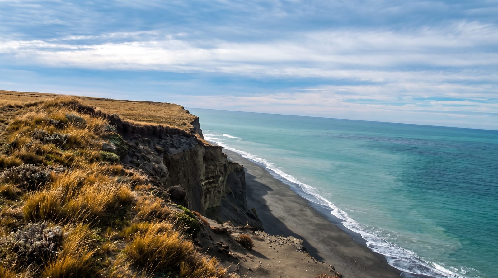
AI illustration
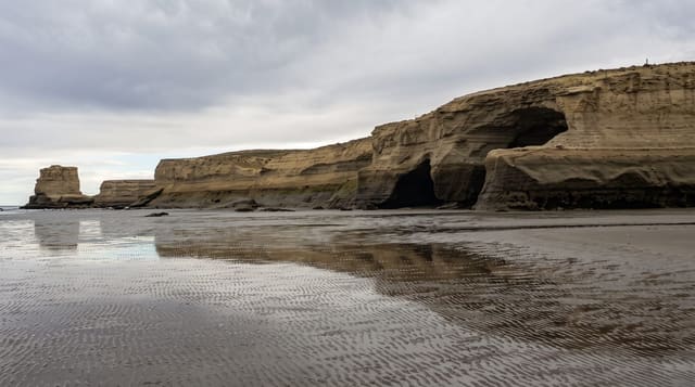
Cabo Vírgenes marks the point where the Atlantic ends and the Strait of Magellan begins, the southeastern corner of the South American mainland, named by Magellan's fleet when they sighted it on the feast of Saint Ursula in 1520. A tall lighthouse operated by the navy stands on the headland, and the shore below holds one of the larger Magellanic penguin colonies on the continent, with well over a hundred thousand birds nesting in burrows through the summer among low scrub. A marked trail leads through the colony, and the ruins of a nineteenth-century gold-rush settlement lie nearby. Across the water the Chilean shore is visible, and shipwrecks lie scattered along the beaches.
What's there
- The penguin colony - a very large Magellanic colony with a trail through it.
- The lighthouse - the naval tower on the corner of the continent.
- The strait - the meeting of the Atlantic and the Strait of Magellan.
- The shipwrecks and ruins - remains on the shore and of the old gold settlement.
When to go
November to March, when penguins are ashore and roads are passable; the colony empties by autumn. Wind is extreme here, and cold even in midsummer. Rain turns the gravel roads to a difficult surface.
What to expect
The drive from Río Gallegos takes around two and a half hours each way on gravel with no services en route. There is nothing at the cape but a ranger post and a small café that opens seasonally. Weather is harsh and shelter minimal.
Nearby
Río Gallegos is the base city; the Chilean border crossing to Tierra del Fuego lies west.
Key facts
Source: Wikidata, item Q153731, read on 18 October 2026.
What to pack for Cabo Vírgenes
Chosen from what this place is for. Tap a kit for the full checklist.
- Broken-in walking shoes or boots - Grip and ankle support matter more than looks; never hike in brand-new boots. Find on Amazon
- Reef-safe sunscreen - High SPF that will not bleach the coral you are swimming over. Find on Amazon
- Binoculars - The single best wildlife tool - even a compact pair transforms a sighting. Find on Amazon
- Layers + a waterproof shell - Mountain weather turns fast; a packable rain jacket saves the day. Find on Amazon
Some links on this page are Amazon affiliate links - if you buy through them we may earn a small commission at no extra cost to you.
All packing kitsPlan your trip
Where to start if Cabo Vírgenes is going on the list.
Booking links on this page are affiliate links - if you book through them we may earn a small commission at no extra cost to you. It never changes what we write about a place.
Opening times, ticket prices and seasonal closures change - check the official source before you go: official site.