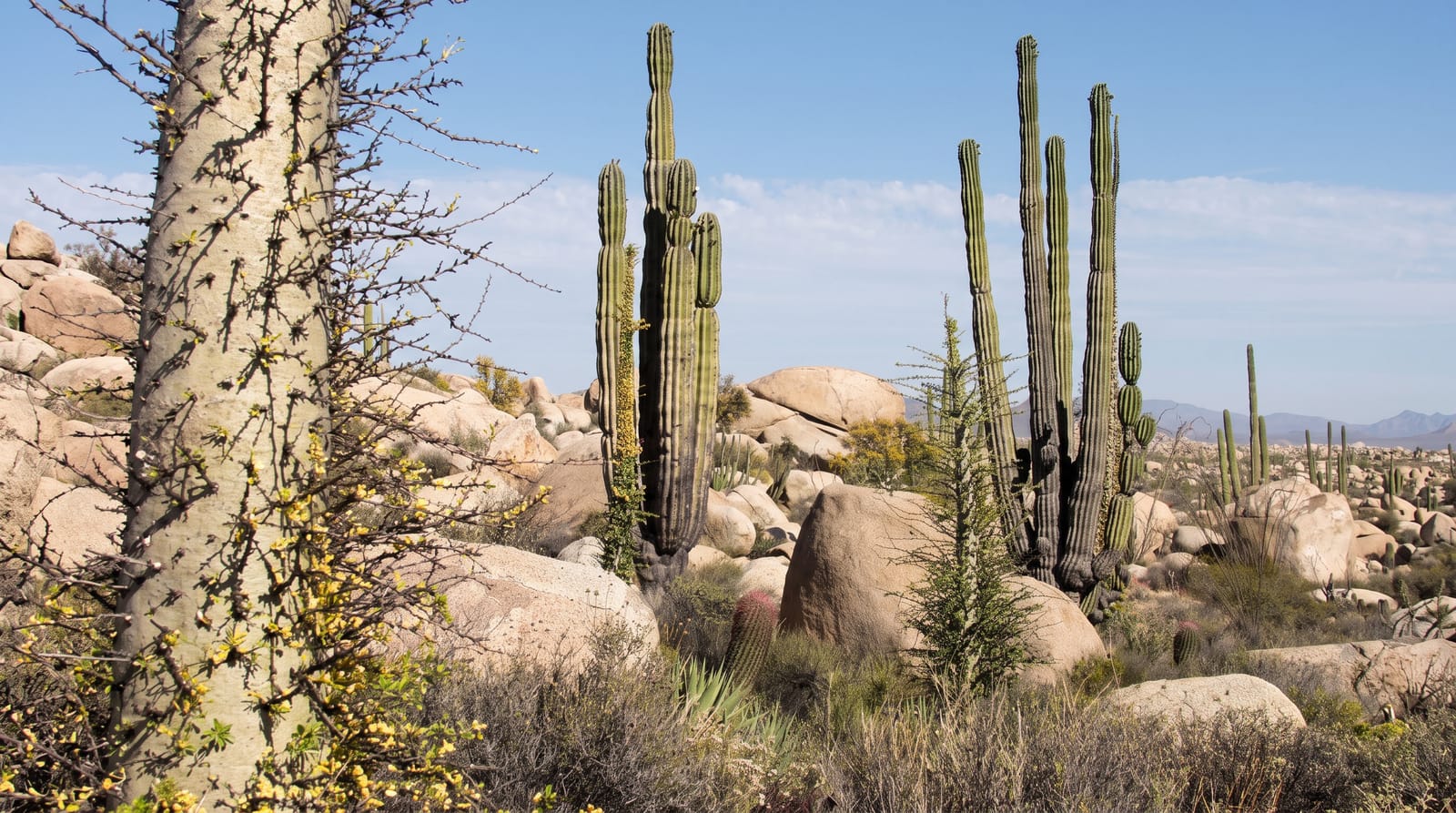
Tadrart Rouge
Red sandstone towers and dunes in the far south-east, inside the Tassili World Heritage area.
Updated 18 October 2026
UNESCO World Heritage
The Tadrart Rouge lies south of Djanet toward the Libyan and Nigerien borders, at the southern end of the Tassili n'Ajjer, and it is the part of the Algerian Sahara that photographs have made familiar: towers, arches and fins of deep red sandstone standing out of orange dunes, with narrow canyons, natural amphitheatres and gueltas holding water after rain. Rock art is found through the area, engravings and paintings left by people who lived here when the climate was wetter, showing cattle, giraffe and hunters. It is visited on four-wheel-drive expeditions of several days from Djanet, camping in the sand, with Tuareg guides who know the routes and the water.
History
The massif is the southern continuation into Algeria of Libya's Tadrart Acacus, a sandstone range about 150 kilometres long that rises to 1,340 metres. Today it is one of the driest places on earth, but in the wet phase of the Neolithic it was savanna that could support people and animals, and its rock art records the change: the paintings and engravings span the time from the Neolithic to recent centuries, as the region turned from savanna around 10,000 years ago to desert around 5,000 years ago, and the animals drawn move from elephants, rhinoceros, giraffes, antelope and wild cattle to domestic cattle, sheep and goats, horses and finally camels (French Wikipedia, Tadrart Rouge).
What's there
- Red sandstone towers and arches - the formations rising out of the dunes.
- Orange dune fields - the sand between the rock.
- Prehistoric rock art - engravings and paintings of a wetter Sahara.
- Gueltas after rain - the rock pools that hold water.
When to go
November to March; the desert festival at Djanet falls in the cooler months. Three to five days minimum. Nights are cold. Permits and licensed guides are compulsory.
Practical notes
It is a full expedition, not a day trip: several days of driving and camping with no facilities. Permits take time and must be arranged through an agency. Rock art is fragile and touching or wetting it destroys it. Summer travel here is not possible.
Nearby
Djanet is north; the Tassili plateau rises above it.
Key facts
Source: Wikidata, item Q18210461, read on 18 October 2026.
What to pack for Tadrart Rouge
Chosen from what this place is for. Tap a kit for the full checklist.
- Broken-in walking shoes or boots - Grip and ankle support matter more than looks; never hike in brand-new boots. Find on Amazon
- Loose, light, long clothing - Covering up beats bare skin in the desert - and locals dress this way for a reason. Find on Amazon
- Shelter suited to the place - Tent, tarp or hut booking - match it to the terrain and rules. Find on Amazon
- Layers + a waterproof shell - Mountain weather turns fast; a packable rain jacket saves the day. Find on Amazon
Some links on this page are Amazon affiliate links - if you buy through them we may earn a small commission at no extra cost to you.
All packing kitsPlan your trip
Where to start if Tadrart Rouge is going on the list.
Booking links on this page are affiliate links - if you book through them we may earn a small commission at no extra cost to you. It never changes what we write about a place.
Opening times, ticket prices and seasonal closures change - check the official source before you go: official site.